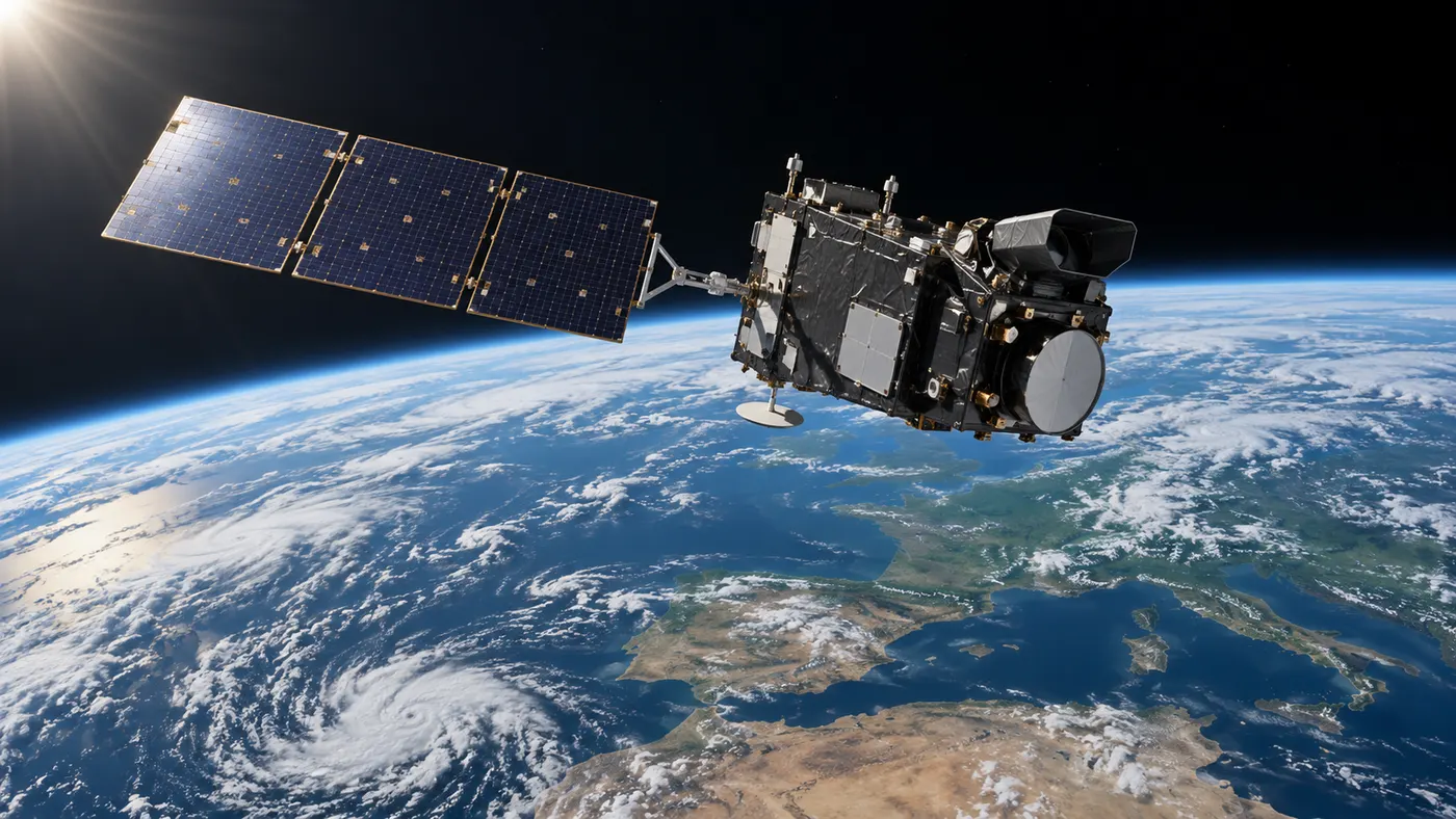
Sentinel-3C sends its first images and measurements of Earth
Sentinel-3C has delivered its first images and measurements of Earth, the European Space Agency announced on 8 October 2026. The initial data show Italy, the Canadian Arctic and the Caribbean, along with measurements of the Greenland ice sheet and sea-surface height.
According to the European Space Agency, the results came from two of Sentinel-3C’s main instruments: the ocean and land colour instrument and the synthetic aperture radar altimeter.
What the first Sentinel-3C images show
The satellite captured a natural-colour view of Italy on 30 September, including the Alps, Po Valley, Adriatic Sea and surrounding regions. Another image taken the same day covered part of the Canadian Arctic Archipelago west of Greenland.
A Caribbean observation acquired on 29 September showed Cuba, the Bahamas and surrounding shallow and deep waters. The radar altimeter has also produced measurements of sea-surface height across the Atlantic and Mediterranean.
Between 30 September and 4 October, Sentinel-3C measured the elevation of the Greenland ice sheet. ESA said the measurement tracks closely matched the reference elevation model, providing an early indication that the altimeter is performing well.
Sentinel-3C has not yet entered full operational service. ESA is continuing the satellite’s commissioning phase, which is expected to take about another five months. Once commissioned, the mission will contribute data on oceans, land, ice and the atmosphere as part of the EU’s Copernicus Earth-observation programme.