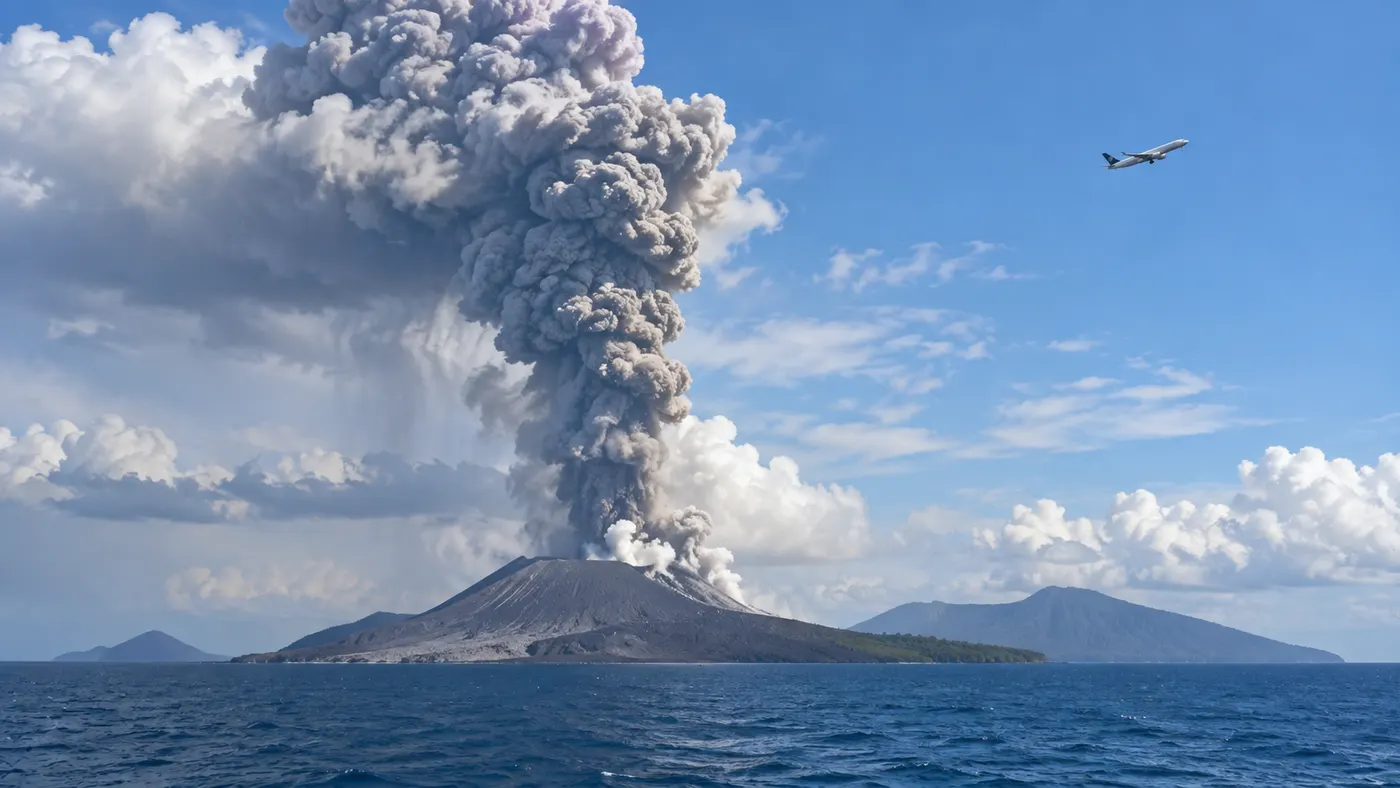
EarthCARE satellite data helped aviation experts track Anak Krakatau volcanic plume
The European Space Agency reported on October 1, 2026 that measurements from its EarthCARE satellite were used by aviation specialists to analyse the volcanic plume produced by Indonesia’s Anak Krakatau. The satellite provided vertical information about ash, sulphate aerosols and other material in the atmosphere.
Anak Krakatau began erupting on September 4. The eruption disrupted air travel, and the Darwin Volcanic Ash Advisory Centre added data from EarthCARE’s atmospheric lidar to the satellite information used for aviation guidance.
EarthCARE measured the plume vertically
EarthCARE’s ATLID instrument uses ultraviolet laser pulses to measure atmospheric aerosols. ESA says the observations can provide information about their altitude and concentration and help distinguish between aerosol types including ash, smoke, sulphate, sea salt and desert dust.
Measurements taken during the eruption showed multiple atmospheric layers containing sulphate and fine ash. EarthCARE’s cloud profiling radar also detected a feature extending from the surface to around six kilometres that scientists believe may correspond to larger ash aggregates. ESA notes that this interpretation still requires confirmation.
Satellite data supported aviation guidance
The Australian Bureau of Meteorology said EarthCARE data helped forecasters verify the westward-moving upper part of the volcanic plume at approximately 15 kilometres altitude.
ESA says the observations allowed specialists to examine the plume’s vertical structure in near real time. The measurements are also being studied to improve understanding of how volcanic ash and other aerosols move through the atmosphere after eruptions.